- Home
- Administration
- Aeronautics
- Business with WYDOT
- Construction Projects
- Driver License and Records
- Economic Stimulus Projects (ARRA - TIGER)
- Engineering and Technical Programs
- Fuel Tax
- Highway Safety
- Human Resources
- Manuals and Publications
- News and Information
- Permits
- Planning/Projects/Research
- Titles, Plates and Registration
- Travel
- Trucking / Commercial Vehicles
- Vehicle Business Regulation
- Wyoming Highway Patrol
- Search
- Sitemap

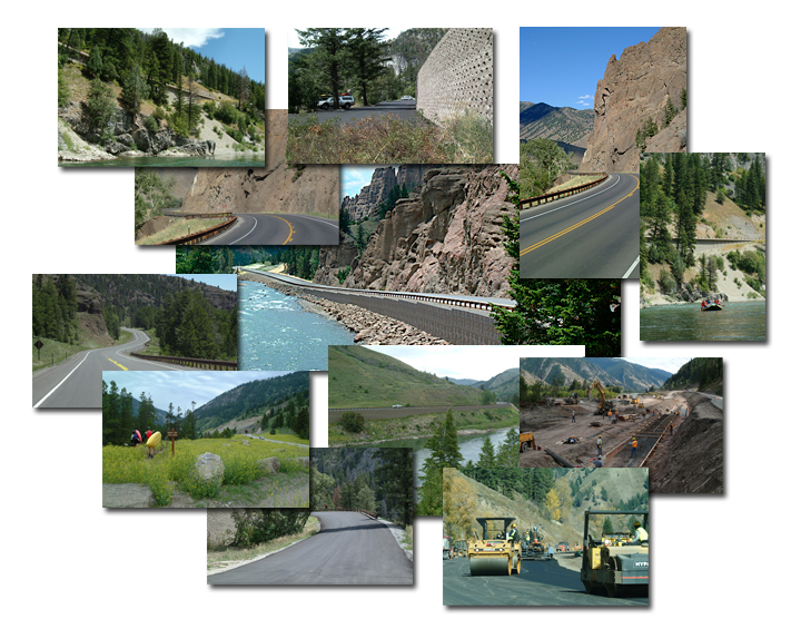
Reclamation & Erosion Control
Erosion Control
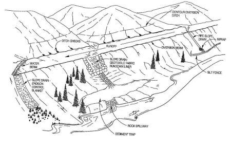
| WYDOT uses a variety of techniques for preventing soil erosion and controlling sediment production during construction. Storm water best management practices are temporary devices and practices located throughout a project to prevent escape of sediment and other pollutants to waters as coded in the Clean Water Act. After construction, permanent erosion protection is achieved through re-establishment of native cover. Within Wyoming's two urban areas and statewide industrial facilities, additional permanent sediment control is provided by structural means and maintenance practices in paved street side environments. | 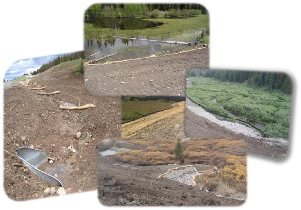 |
Reclamation
WYDOT utilizes a site-specific EcoRegional approach to designing native reclamation seed mixtures in contrast to "one-size-fits-all" reseeding. Wyoming is spit into six Level II EcoRegions: Black Hills, Northern High Plains, Northern Rocky Mountains, Wyoming Basins, Southern Rocky Mountains, and Central Shortgrass Prairie. Within each EcoRegion, highway corridors are further refined into ecological communities based on soils, range sites, precipitation, slopes and human traffic and cultural interactions.
These resilient native plant communities recently survived a severe 10-year drought during the first decade of the 21st Century as a test of their longevity in a changing climate. Over 70 site-specific seed mixtures encompass WYDOT right-of-ways, statewide. Reconstruction of ecological plant communities is a work-in progress with the half-way mark along the approximate 7,000 miles of designated State and Federal highways.